Rheinland-Pfalz, Westerwaldkreis
Westerburg
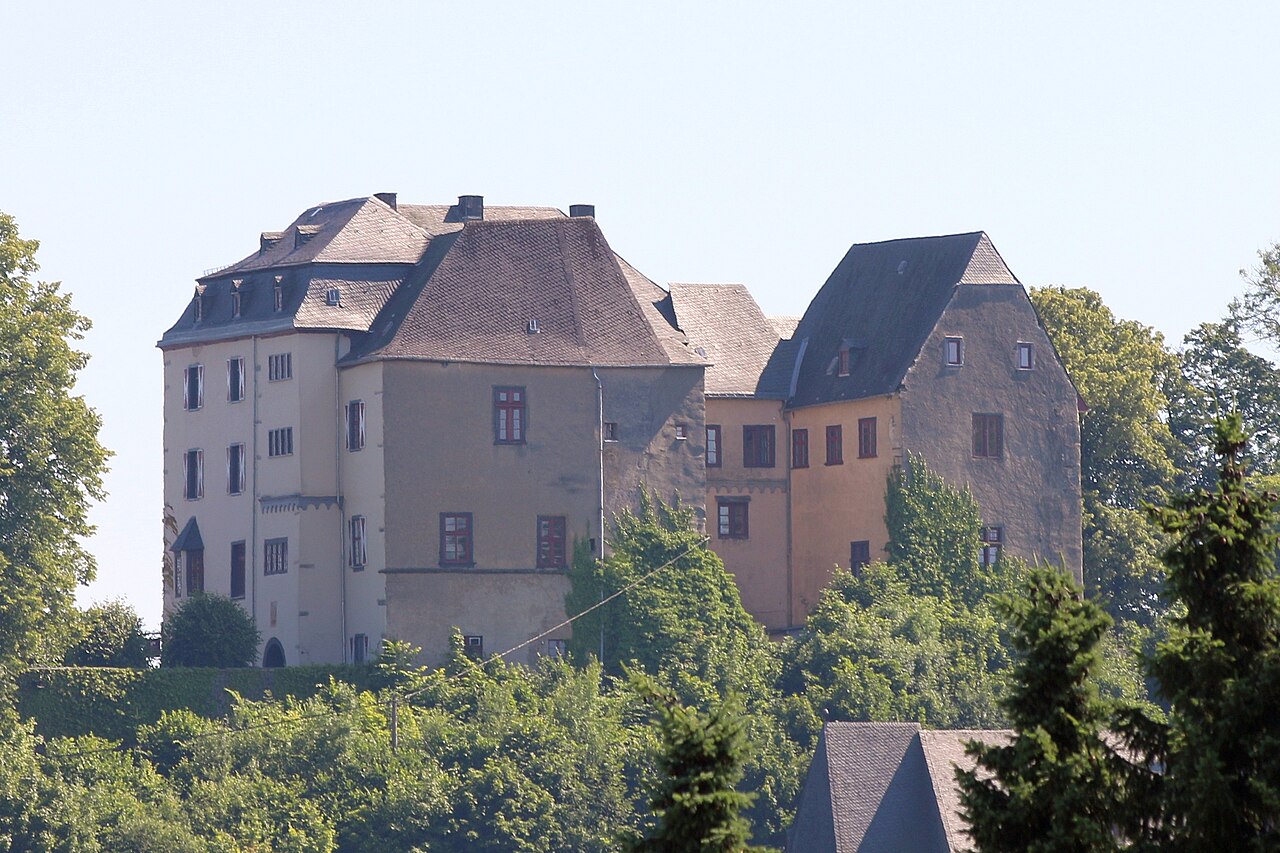
Westerburg lies in the south of the Westerwald district where the land rises towards the Hoher Westerwald. The town was granted its charter in 1292; the castle on the basalt cone above the roofs was first recorded in 1192 and is still the town's landmark.
Castle and town history
Westerburg Castle goes back to a 12th-century fortress and now lies in the middle of the town, because the settlement grew around the castle hill. The complex is privately owned and not run as a museum, but it is clearly visible from outside and from the town walk.
Wiesensee and the surrounding area
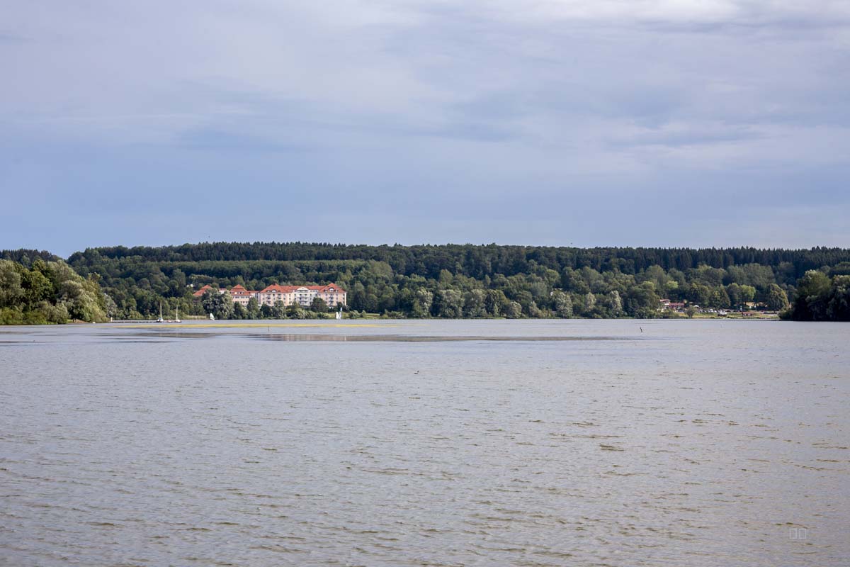
West of the town lies the Wiesensee near Stahlhofen am Wiesensee, with a golf course and paths along its shore.
To the north the road climbs into the Hoher Westerwald with the Fuchskaute, to the north-east lies the lake district and to the south the pottery country around Höhr-Grenzhausen.
Sights nearby
Further places in the region
- Hoher Westerwald – A basalt plateau with the Fuchskaute, the highest point of the Westerwald.
- Bad Marienberg – A Kneipp spa town on the Marienberger Höhe with a wildlife park, basalt park and lookout tower.
- Westerwald lake district – Seven ponds between Steinebach and Freilingen; the Dreifelder Weiher is the largest.