Westerwaldkreis, Rheinland-Pfalz
Hoher Westerwald
The Hoher Westerwald is the upland in the north of the Westerwald district. It averages around 550 metres, with individual summits above 650 metres; at 657.3 metres the Fuchskaute is the highest point of the whole Westerwald.
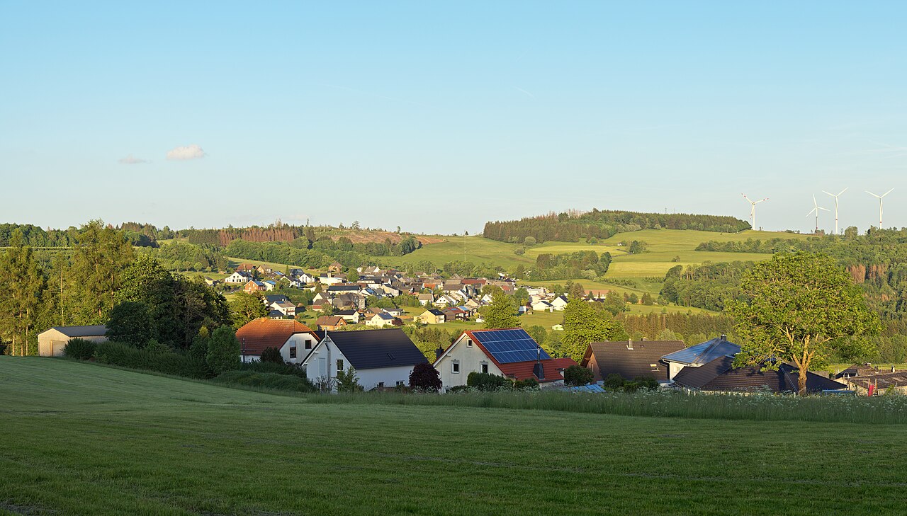
A landscape of basalt
The plateau was formed from volcanic rock. Basalt weathers into fertile soil, and where it was quarried, pits and rock faces remain. The summits are mostly wooded or covered with meadows, with small villages of a few hundred inhabitants in between.
The climate is rougher than in the valleys, with more wind and rain and shorter growing seasons, which suits plants such as arnica on the dry grassland of the Fuchskaute.
Hiking, views and neighbouring places
The Fuchskaute is the obvious destination, with further summits and viewpoints in between. The Westerwaldsteig crosses the plateau on its way from Herborn to the Rhine.
Rennerod and Bad Marienberg are suitable bases, both at the edge of the uplands.
Sights nearby
Further places in the region
- Rennerod – A small town in the Hoher Westerwald and a starting point for walks to the Fuchskaute.
- Bad Marienberg – A Kneipp spa town on the Marienberger Höhe with a wildlife park, basalt park and lookout tower.
- Westerwald lake district – Seven ponds between Steinebach and Freilingen; the Dreifelder Weiher is the largest.