Westerwaldkreis, Rheinland-Pfalz
Westerwald lake district
The Westerwald lake district is a group of seven ponds on the uplands between Hachenburg and Bad Marienberg. The Dreifelder Weiher is the largest at around 123 hectares and is fed by underground springs.
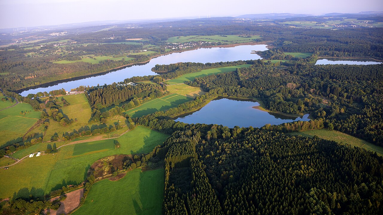
Seven ponds, one landscape
The ponds lie close together, linked by dams and ditches. Their banks are mostly shallow and lined with reeds, and the open water with the surrounding meadows changes markedly over the year.
Since 2019 the ponds, around 228 hectares in all, have belonged to the NABU National Natural Heritage foundation. Parts of the water and banks are protected, and the area is designated as a fauna-flora-habitat site.
Walking, cycling and watching wildlife
The seven-ponds trail loops around the water, with a northern loop starting in Steinebach on the Dreifelder Weiher. The ponds can also be linked by bike, as the routes are mostly flat.
Visitors who want to watch birds stay on the paths and use the quiet morning hours. Hachenburg and Bad Marienberg are convenient bases a few kilometres away.
Further places in the region
- Hachenburg – A small town with a baroque castle, open-air museum and half-timbered old town in the north of the district.
- Bad Marienberg – A Kneipp spa town on the Marienberger Höhe with a wildlife park, basalt park and lookout tower.
- Hoher Westerwald – A basalt plateau with the Fuchskaute, the highest point of the Westerwald.
Accommodation in Westerwald lake district and the surrounding area