Rheinland-Pfalz, Westerwaldkreis
Rennerod
Rennerod lies in the north of the Westerwald district in the Hoher Westerwald, between 457 and 604 metres above sea level. Around 4,400 people live in the town, which is the seat of the Rennerod municipality. The altitude shapes everyday life here: a rougher climate, wide views and short distances to the trails of the uplands.
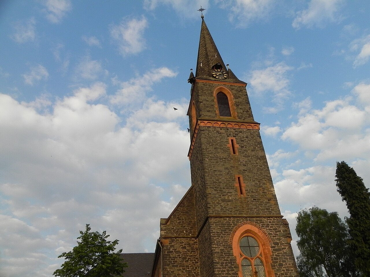
Living on the uplands
The Hoher Westerwald is a basalt plateau with individual summits reaching more than 650 metres. Rennerod lies at its edge, surrounded by forest, meadows and basalt quarries.
The altitude brings cooler temperatures and more rain than in the Rhine valley, which hikers notice pleasantly in high summer, when the views reach far across the summits.
Town walk and routes to the Fuchskaute
A historic town walk passes the main buildings. From here, tours lead across the uplands to the Fuchskaute, the highest point of the Westerwald.
The Westerwaldsteig long-distance trail runs through the northern Westerwald and can be walked in stages from Rennerod.
Further places in the region
- Hoher Westerwald – A basalt plateau with the Fuchskaute, the highest point of the Westerwald.
- Bad Marienberg – A Kneipp spa town on the Marienberger Höhe with a wildlife park, basalt park and lookout tower.
- Hachenburg – A small town with a baroque castle, open-air museum and half-timbered old town in the north of the district.