Rheinland-Pfalz, Westerwaldkreis
Wirges
Wirges lies in a high hollow of the front Westerwald, between the Köppel to the south-west and the Malberg to the north-east. The town is the seat of the Wirges municipality and has held town rights since 1975; it was first mentioned in a document in 958.
From a charter in 958 to town rights
Wirges was first documented on 29 April 958; the charter names a royal court called “uuidherigis”, which passed to the widow of the count in the Engersgau. The parish village became a town on 10 May 1975, when town rights were granted.
Today Wirges is the seat of the Wirges municipality and is designated a middle centre in regional planning. Around 5,700 people live in the town at about 267 metres above sea level.
The Westerwald Cathedral and the Steimel
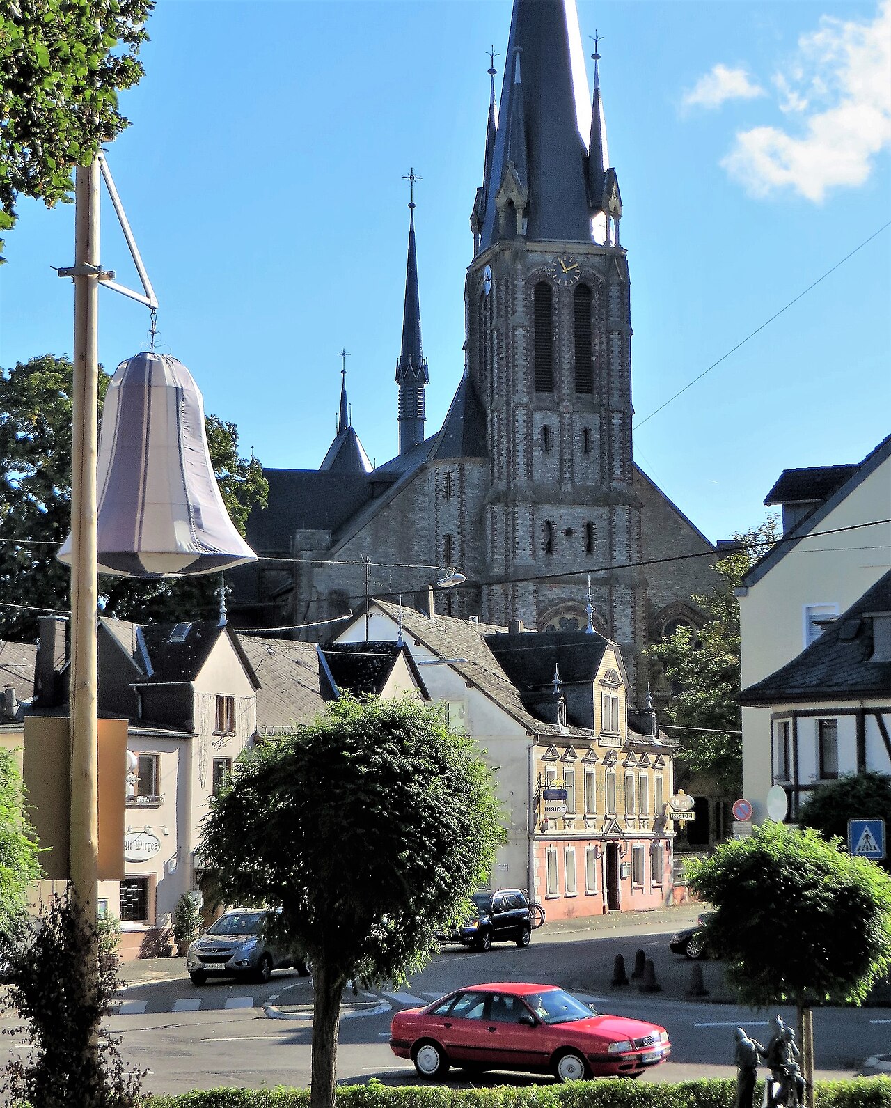
The catholic church of St. Bonifatius was built between 1885 and 1887 in neo-Gothic style. Since 1902 it has been known locally as the “Westerwald Cathedral” and is the town's best-known building.
North of the centre the Steimel rises to 333.7 metres. A Marian chapel was built on it in 1865 and can be reached from the town along a Stations of the Cross path; a short nature trail through a bird sanctuary also leads across the Steimel. West of the town lies the Silbersee, a 4.5-hectare pond used by the Wirges angling club.
Further places in the region
- Selters (Westerwald) – A small town between Koblenz and Siegen, seat of the Selters municipality.
- Ransbach-Baumbach – A pottery town in the Kannenbäckerland with a museum at the old kiln.
- Höhr-Grenzhausen – The pottery town of the Kannenbäckerland with a ceramics museum, workshops and a university campus.